
The ultimate Clapton area guide

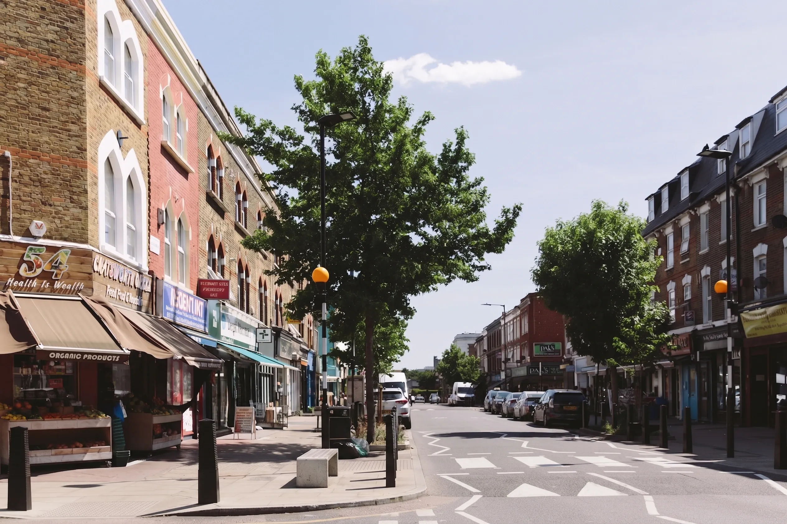
Yes, for most people. Clapton gives you Georgian terraces around Clapton Square, 82 sports pitches on Hackney Marshes and a Sunday market on Chatsworth Road, for a Hackney Band D council tax of £2,060.30 in 2026/27. The catch is transport: E5 has no Underground station, and the nearest one is a bus ride away.
Where is Clapton, and what is the difference between Upper and Lower?
Clapton is the north-eastern corner of Hackney, covering the E5 postcode, running from Hackney Downs up to Stamford Hill and east to the River Lea. Upper Clapton sits north of Clapton Pond, gathered around Clapton Common and Springfield Park. Lower Clapton runs south from the Pond towards Hackney Central, taking in Clapton Square, Chatsworth Road and the Millfields.
The two halves feel different and price differently. Upper Clapton is quieter, greener, more residential, with a large Charedi Jewish community around Clapton Common and Stamford Hill. Lower Clapton has the shops, the market, the pubs and the bulk of the buying interest.
Clapton is in Hackney, not Waltham Forest, even though the Lea and the Walthamstow reservoirs sit right on its eastern edge.
How do you get in and out of E5 without a Tube station?
E5 has no Underground station. This is the single most important practical fact about living in Clapton, and most area guides skate over it.
What you have instead is Clapton station, on the London Overground Weaver line, which runs into Liverpool Street. From there you are on the Central, Circle, Hammersmith and City, Metropolitan and Elizabeth lines. It is a fast, direct journey into the City, and for a lot of Clapton residents that is the whole commute.
For anything else you walk. Hackney Downs and Hackney Central are both a walk from Lower Clapton rather than a change at Clapton, and they put you on Overground services towards Highbury and Islington, Stratford and Richmond. Hackney Council's own guidance for visitors to Chatsworth Road Market lists Homerton, Hackney Central, Clapton and Hackney Downs as the nearest stations, which tells you something: no single station serves the whole area well.
Buses do a lot of heavy lifting. Lower Clapton Road is one of the better-served corridors in east London. If you work in the West End, budget for a bus plus a train, and do the journey at rush hour before you commit.
Is Clapton safe, and what happened to the "Murder Mile" nickname?
The nickname attached to a stretch of Lower Clapton Road in the early 2000s, after a run of shootings over a short period. It was a tabloid label, never an official designation, and it belongs to a different decade. Residents are usually blunt about this, and they are right to be. The pubs, restaurants and family housing along that road today bear no resemblance to the reporting that produced the phrase.
The honest position on crime is that Clapton is inner London, with inner London's realities around phone theft, moped crime and burglary, and that it is not a statistical outlier within Hackney. Anyone wanting current figures should go to the Met Police's own ward pages rather than to crime-score websites, which repackage the same Home Office data behind an invented rating.
One thing to know when you do that: there is no police ward called Clapton. The Met's Hackney neighbourhoods include Hackney Downs, Lea Bridge, King's Park, Springfield and Cazenove, and E5 is split across several of them. Search for one ward and you get a partial picture of the area.
What does it cost to live in Clapton?
Hackney's Band D council tax for 2026/27 is £2,060.30. That splits into £1,549.79 for Hackney Council and £510.51 for the Greater London Authority precept.
Across the bands, 2026/27 runs from £1,373.53 at Band A to £4,120.60 at Band H. Check the band on GOV.UK before you offer. A whole Georgian house on Clapton Square sits a long way up that scale from a converted flat off Chatsworth Road.
Which schools are in E5, and what does Ofsted actually say now?
Mossbourne Community Academy is the name everyone raises, and it is in E5, at 100 Downs Park Road. It is a secondary and sixth form with 1,432 pupils against a capacity of 1,400. Ofsted inspected it on 6 May 2026 and published the report on 16 July 2026.
Here is the part that catches people out. Ofsted stopped issuing overall effectiveness grades for state-funded schools inspected from September 2024, and moved to report cards from November 2025. So the Mossbourne report published in July 2026 carries no single-word verdict. Neither does Northwold Primary School on Northwold Road, whose most recent report was published on 16 January 2025. If an estate agent or an area guide quotes you an "Outstanding" for either, they are quoting an older inspection.
Schools with a graded judgement still on record include Clapton Girls' Academy on Laura Place, off Lower Clapton Road, inspected on 22 May 2024 and rated Outstanding in a report published on 5 July 2024; Millfields Community School on Hilsea Street, rated Good in a report published in April 2024; and Daubeney Primary School on Daubeney Road, inspected on 18 October 2023 and rated Good in a report published on 27 November 2023. All of those predate the grading change, which is why the ratings still appear.
What is the green space actually like?
Better than almost anywhere else in inner east London, and it is the strongest argument for moving here.
Hackney Marshes carries 82 football, rugby and cricket pitches across North Marsh, South Marsh and Mabley Green, and holds a Green Flag award. Springfield Park opened to the public in 1905, covers 14.73 hectares, was formed from the grounds of three private houses of which only Springfield House survives, and looks out across Walthamstow Marshes. Its café and the free tennis courts are listed on Hackney's park page, with café hours of 10am to 6pm from April to September and 10am to 4pm through the winter as at 20 August 2026.
Millfields Park sits between Lower Clapton and the river, and the Lee Navigation towpath runs the length of the eastern edge, giving you a traffic-free route south to the Olympic Park and north towards Tottenham and beyond.
One caveat the glossy guides never print. Hackney Council explicitly advises against swimming in the River Lea, citing raw sewage from misconnected plumbing, road and agricultural run-off, and the risk of leptospirosis, E. coli and gastroenteritis. Walk it, cycle it, row on it. Do not swim in it.
What is the housing stock, and where are the conservation areas?
Clapton is mostly Victorian, with a Georgian core and a substantial amount of post-war council housing.
The Georgian material is concentrated in two places. Clapton Square, designated a conservation area in 1969 and extended in 1991 and 2000, holds terraces of listed buildings and is protected by Act of Parliament as a London Square. It is dominated by St John's Church, built between 1792 and 1797, and St John's Gardens, with more listed late eighteenth-century houses on the south side of Sutton Place. The grade II listed former Public Baths stand on Lower Clapton Road. Clapton Terrace, a Georgian group facing Clapton Common, sits inside the Clapton Common conservation area, also designated in 1969 and extended on 24 June 2013.
Everything else is Victorian and Edwardian terrace, in the bay-fronted two-storey pattern that fills Chatsworth Road, Rushmore Road, Powerscroft Road and the Millfields grid. These are the houses most people buy, and they come with the usual list: lath and plaster, single-skin rear additions, shallow foundations and Victorian drainage. If you are budgeting, our guide to Victorian terrace renovation costs and common problems covers what actually turns up once the plaster comes off.
Then there are the estates. Clapton Park, Nightingale, Pembury and the blocks off Mount Pleasant Lane account for a large share of E5's homes, much of it now leasehold after right to buy. Buying a leasehold ex-council flat here is often the cheapest way into the area, and what you can change is set by your lease as much as by planning, so read the alterations clause before you draw anything.
Hackney's own list names three Clapton conservation areas: Clapton Square, Clapton Common and Clapton Pond. There is no "Lower Clapton conservation area", despite the phrase appearing in a lot of area guides. Lea Bridge and Northwold and Cazenove also reach into E5. Clapton Square, Clapton Common and Clapton Pond were among the borough's first designations in 1969.
What does that mean for renovating in Clapton?
More freedom than you would expect, and this is the finding that surprises people.
Conservation area status alone restricts you. You need planning permission for work that would normally be permitted development, including some roof alterations, dormers and satellite dishes, and you must give Hackney six weeks' written notice before touching a tree. Demolition of an unlisted building needs planning permission, and doing it without is a criminal offence under section 196D of the Town and Country Planning Act 1990. Our guide to renovating in a conservation area sets out the practical sequence.
But Hackney has not made a residential Article 4 direction over any Clapton conservation area. The borough's conservation area Article 4 directions cover Brownswood and Well Street, both made on 9 May 2024 and effective from 9 May 2025, Beck Road, made 28 May 2024 and effective 28 May 2025, and part of Shacklewell Green, made 30 August 2018 and effective 22 October 2019. Clapton is on none of those lists. The only Clapton-specific Article 4 directions relate to change of use, including a launderette direction made on 1 May 2017 and in force since 14 May 2018, which names 112 Upper Clapton Road and 94 Chatsworth Road.
In practice your permitted development rights under the Town and Country Planning (General Permitted Development) (England) Order 2015 largely survive, subject to the tighter conservation area conditions written into the Order itself. Read what permitted development rights are before you assume you need an application, and check the boundary on Hackney's conservation areas map rather than guessing from the street name.
Who does Clapton suit, and who should look elsewhere?
It suits people who want space, water and green within a short cycle of the City, and who will happily trade Tube access for a Victorian terrace with a garden and a Sunday market on their doorstep. It suits families who value Hackney Marshes and the Lea more than a short walk to a station. It suits renovators, because the housing stock has room in it and the planning position is less restrictive than the conservation area count suggests.
It does not suit everyone. If your commute is to the West End, west London or anywhere requiring two changes, the journey will grind you down. If you want high-frequency rail at the end of your road, Clapton will frustrate you. If you want a polished, uniform streetscape, Lower Clapton's mix of Georgian terrace, estate block and takeaway will not deliver it. And if you are buying on a school reputation you read about years ago, check the actual inspection dates first.
Common questions about living in Clapton
Is Clapton in Zone 2?
Clapton station is in Travelcard Zone 2, as are Hackney Downs and Hackney Central. Fares from E5 are therefore reasonable, but frequency and destination matter more than the zone here.
Is Clapton at risk of flooding?
Parts of eastern E5 lie near the River Lea and the Lee Navigation, and the Walthamstow reservoirs sit just across the water in Waltham Forest. Flood risk varies street by street rather than area-wide, so check the specific address on the Environment Agency's flood risk service and ask the seller for the searches before exchange. Surface water flooding is a separate question from river flooding, and often the more relevant one for a terraced street.
When is Chatsworth Road Market on?
Sundays only, 10am to 5pm. It runs along Chatsworth Road between Dunlace Road and Lockhurst Street in Lower Clapton, E5 0LH, with more than 50 active traders according to Hackney's market page. The rest of the week Chatsworth Road is a working high street rather than a market.
Can I extend a Victorian terrace in Clapton?
Usually yes. Most E5 terraces sit outside the three Clapton conservation areas, and none of those conservation areas carries a residential Article 4 direction, so permitted development rights for rear extensions generally apply. Inside a conservation area, or on a listed building, you will need permission. Start with our guide to planning permission for renovators and confirm your boundary on Hackney's map.
Renovating in Clapton?
- Kitchen renovation in Clapton
- Bathroom renovation in Clapton
- House extensions in Clapton
- Loft conversions in Clapton
- Basement conversions in Clapton
- Home renovation in Clapton
- Interior design in Clapton
- Builders in Clapton
If you are still deciding where in London to buy, we have area guides for twenty London neighbourhoods in one place.
Sources and verification notes
All figures checked on 20 August 2026 unless stated otherwise.
Primary sources
- Council tax 2026/27: London Borough of Hackney published band table. Band D £2,060.30, made up of £1,549.79 for the council and a £510.51 Greater London Authority precept. Band A £1,373.53, Band H £4,120.60.
- Ofsted, Mossbourne Community Academy, URN 134693: inspected 6 May 2026, report published 16 July 2026, no overall effectiveness grade. Roll of 1,432 against a capacity of 1,400, and address 100 Downs Park Road E5 8JY, from the same Ofsted provider record.
- Ofsted, Clapton Girls' Academy, URN 137442: inspected 22 May 2024, Outstanding, published 5 July 2024.
- Ofsted, Daubeney Primary School, URN 100223: inspected 18 October 2023, Good overall with Outstanding for personal development, published 27 November 2023.
- Ofsted framework change: single-word overall effectiveness grades ended for state-funded school inspections from September 2024, report cards from November 2025. Ofsted guidance on GOV.UK.
- Article 4 directions: Hackney Council, Article 4 Directions page. Brownswood and Well Street conservation areas, made 9 May 2024, effective 9 May 2025. Beck Road, made 28 May 2024, effective 28 May 2025. Part of Shacklewell Green, made 30 August 2018, effective 22 October 2019. Launderette to residential direction made 1 May 2017 and effective 14 May 2018, schedule including 112 Upper Clapton Road and 94 Chatsworth Road. No conservation area Article 4 direction covers any Clapton conservation area.
- Demolition of an unlisted building in a conservation area as an offence under section 196D of the Town and Country Planning Act 1990: legislation.gov.uk.
- Clapton station on the Weaver line, Zone 2, and the Liverpool Street interchange lines: Transport for London station pages.
- No Metropolitan Police ward named Clapton, and the Hackney neighbourhood names: Metropolitan Police neighbourhood pages.
Where sources disagree
- Ofsted, Northwold Primary School, most recent report published 16 January 2025 with no overall grade, and Ofsted, Millfields Community School, Good in a report published April 2024. Both taken from Ofsted report listings. Millfields' Good judgement is confirmed on the Ofsted provider record; the exact publication day is not confirmed, so the article gives the month only.
- Hackney Marshes 82 pitches and Green Flag status; Springfield Park opened 1905, 14.73 hectares, three former private houses, café hours and free tennis courts; Millfields Park and the Lee Navigation towpath: Hackney Council park pages, checked 20 August 2026.
- Advice against swimming in the River Lea and the health risks listed: Hackney Council water safety guidance.
- Conservation area designation and extension years for Clapton Square (1969, extended 1991 and 2000), Clapton Common (1969, extended 24 June 2013) and Clapton Pond (1969), and the listing of St John's Church 1792 to 1797 and the former Public Baths: Hackney Council conservation area appraisals and Historic England list entries.
- Chatsworth Road Market hours, extent and trader count: Hackney Council market page.
- Estate names and the extent of leasehold ex-council stock: Hackney Council housing pages and Land Registry title patterns. Directional, not a count.
What we could not confirm
- The percentage by which Hackney raised its own element of council tax for 2026/27. Published figures disagreed, so the article gives the split in pounds instead.
- Any crime figure for Clapton. There is no Clapton police ward, so no honest single number exists, and the article says so and points readers at the Met's ward pages.
- The total number of conservation areas in Hackney. No figure is given, because no count is confirmed against the council's current list.
- Any flood risk statement specific to a street in E5. Readers are pointed to the Environment Agency's flood risk service.
Find out what your project will cost
Clapton's constraints are specific: Victorian terraces with shallow foundations and shared party walls, three conservation areas where dormers and roof alterations need permission, and a large stock of leasehold ex-council flats where the lease governs more than the planning system does. Access is tight on the terraced grid around Chatsworth Road and the Millfields, which affects skip permits, scaffolding and delivery costs. Getting a realistic figure early saves you from designing a scheme the site cannot take.
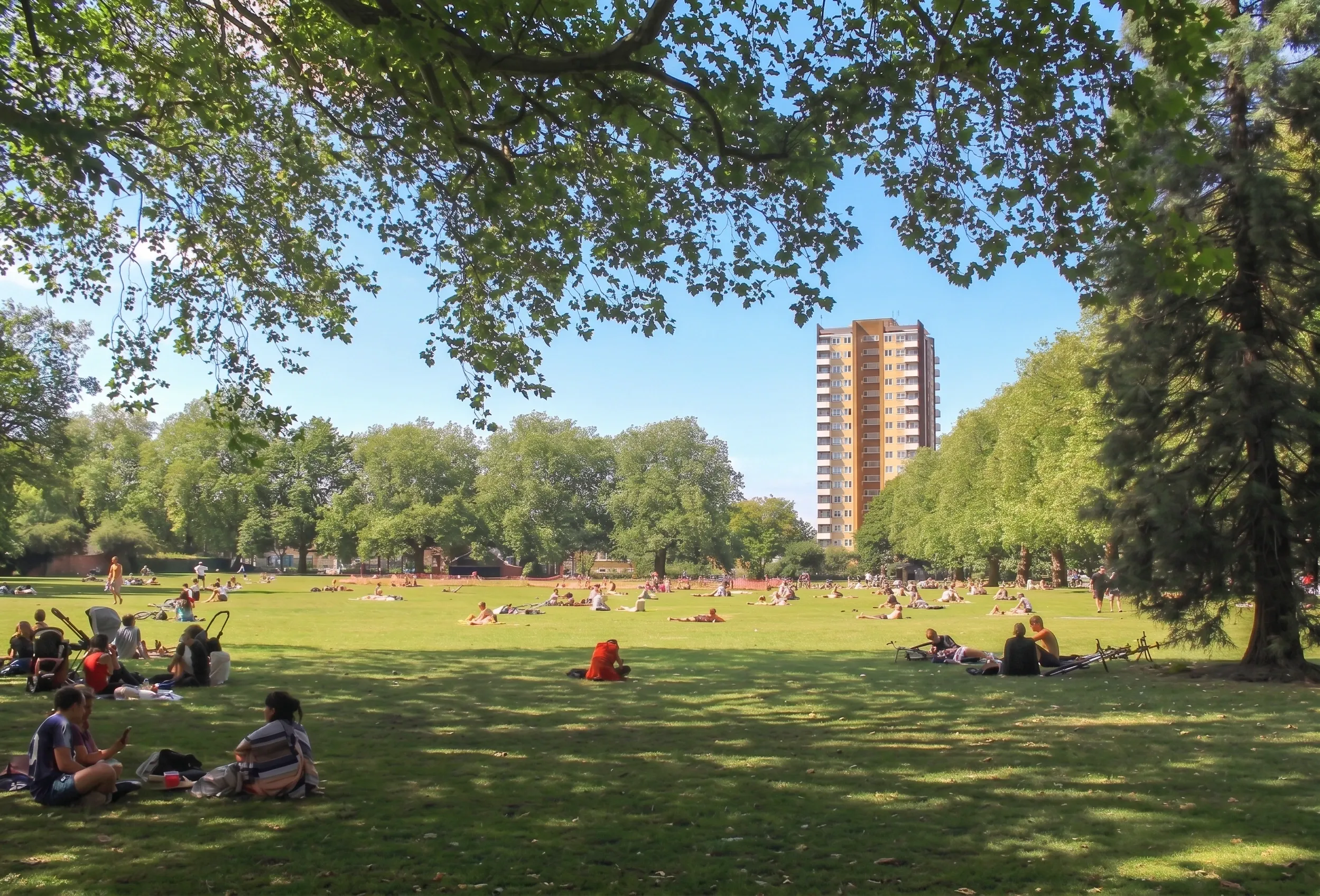
E8 has no tube station, two of London's best markets and a licensing history worth understanding. What the council's own research found about Dalston.
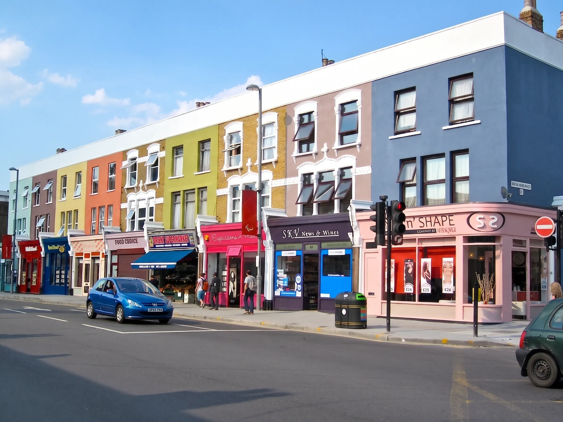
Central line, Victorian terraces and the Olympic Park on the doorstep. What the Mini Holland scheme changed, and what Waltham Forest council tax costs.
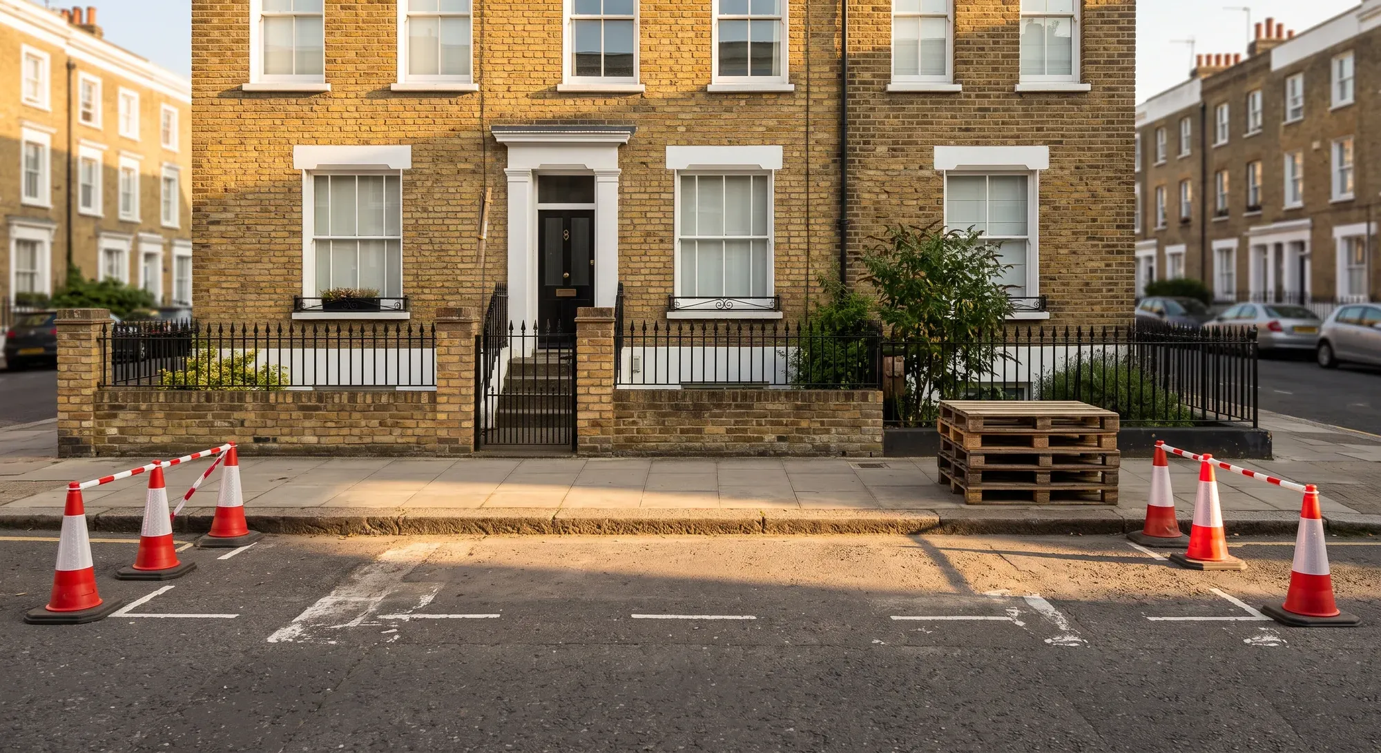
London renovation costs run around a third above UK figures. The gap is labour, access, waste and borough charges rather than materials. The published figures and the reason.
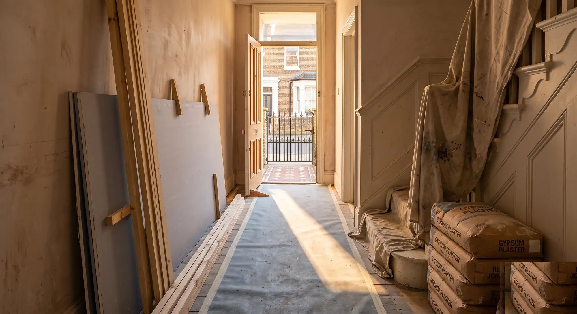
Permitted development rights removed, party walls on both sides, nowhere to put a skip and borough charges that vary fourfold. What actually differs about renovating in London.